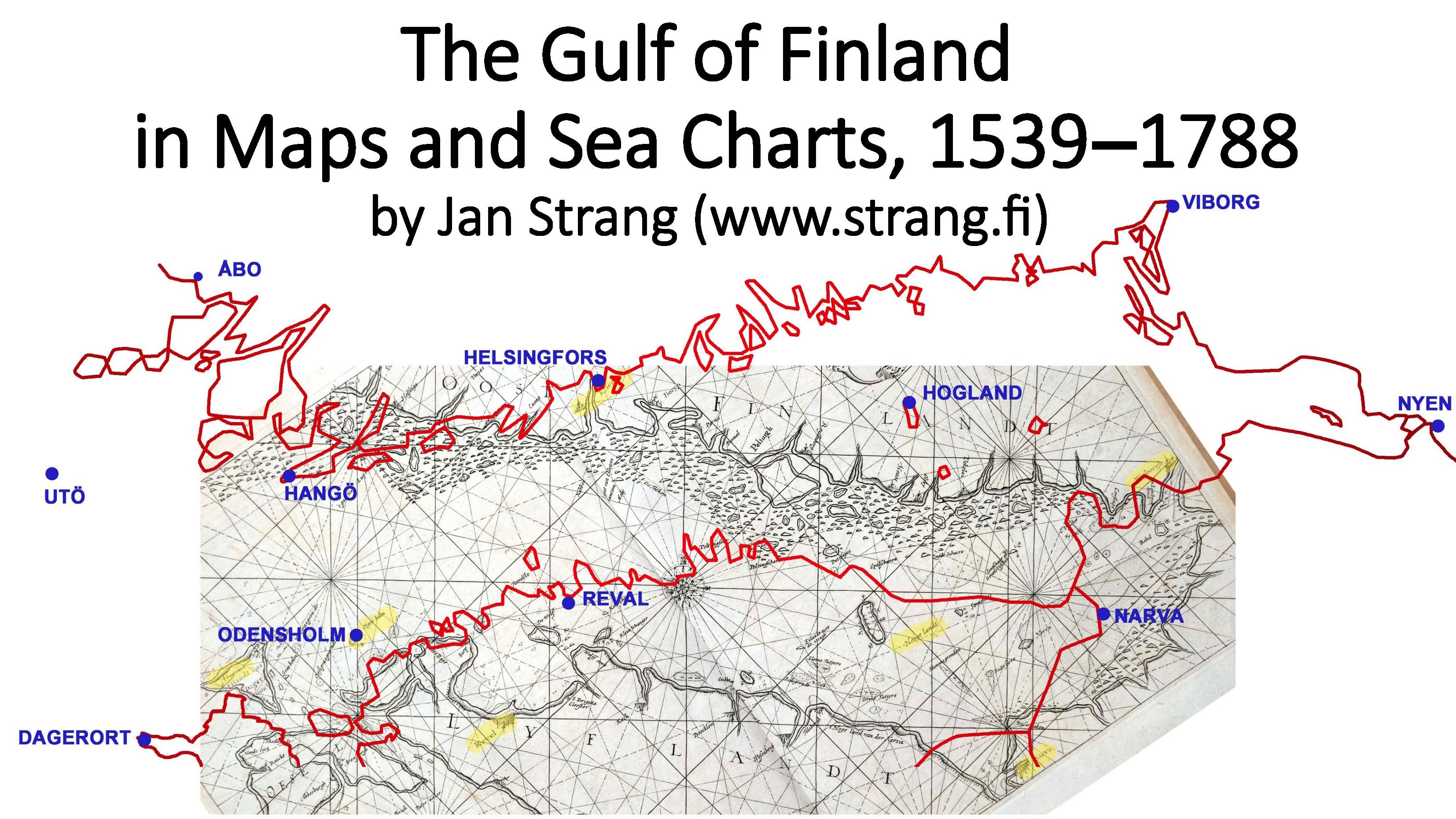
The Gulf of Finland in Maps and Sea Charts, 1539-1788.
The work is openly licensed via CC BY-NC-ND 4.0
An archived copy is in the Internet Archive (archive.org)
Strang, Jan. The Gulf of Finland in Maps and Sea Charts, 1539-1788 - Helsinki : Antiikki-Kirja, 2026. - 20 slides.
The work compares different maps from the period 1585-1788 with a modern contour map to illustrate the development of the cartography of the region and the pros and cons of the products of different mapmakers. One of the main conclusions is that Anders Bure was an excellent cartographer - much better than his contemporaries and followers ever realised.
The article is based on a presentation in the symposium of the International Map Collectors Society in Helsinki 23.8.2023.
Publisher:
Antiikki-Kirja
antiikki-kartta(ät)strang.fi