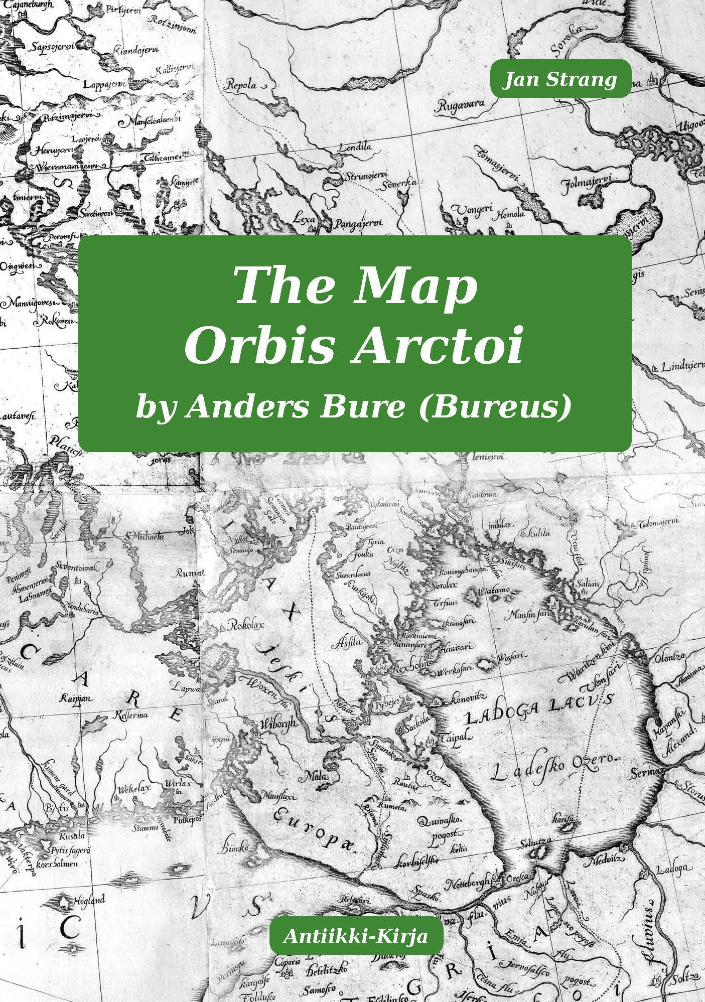
The Map Orbis Arctoi by Anders Bure (Bureus).
The work is openly licensed via CC BY-NC-ND 4.0
An archived copy is in the Internet Archive (archive.org)
Strang, Jan. The Map Orbis Arctoi by Anders Bure (Bureus) : in General and as a Map of Finland - Helsinki : Antiikki-Kirja, 2026. - Size 245×343 mm : 52 pages ; illustrations (mostly maps). - Multicolour. - ISBN 978-951-98135-7-8
The map of Northern Europe "Orbis Arctoi Nova et Accurata Delineatio" published in 1626 by Anders Bure (Bureus, 1571-1646), was perhaps the most significant map of Europe of the entire century, because it reshaped our perception of Europe more than any other map of the century. The new look of Europe was mainly result of the new look of Finland and its surroundings. The area had been the most inaccurately depicted part of Europe in maps prior to Bure's work.
This book presents and discusses Bure's map and its impact on the mapping of Northern Europe and especially Finland. Much has been written about the map, but as far as I know the geodetics of the map has not been mathematically analysed and little and selectively has been written about its contents in detail - things such as: geodetic and historical correctness of locations, national borders, coastlines, inland waterway systems etc. About the map as a map of Finland only very short passages has been written. In this book I have tried to remedy those omissions. The geodetics and detail information in different parts of the map are compared with our modern knowledge and with the information offered by other 17th century mapmakers.
The most significant conclusion of this research is that the map was even much better than contemporaries and especially generations of mapmakers during the next about 120-150 years understood. During that period practically all attempts to improve Bure's original created more confusion than improved the map of the Norden. If someone succeeded in improving the map image in one area, they made at least as many deteriorations in another.
The old provincial long-distance measurement units of Sweden presented in the scale bars of the map have been devoted attention. In the end of the book there is a detailed annotated bibliography.
This book is an corrected and translated version of a part of my book Suomen kartan historia (Mapping of Finland) 1532-2005 published in Finnish. (ISBN 978-951-98135-4-7). I have previously discussed the same topic in my presentation in the 25th International Conference on the History of Cartography in Helsinki 2013.
Story of the most significant map of Europe of the 17th century
Publisher:
Antiikki-Kirja
Jatasalmentie 1, FI-00830 Helsinki
Telephone: +358505588579
E-mail: antiikki-kartta(ät)strang.fi
About the Author
Jan Strang (born 1947) is a leading experts on old maps of the Nordic countries, especially Finland. He worked as a systems analyst in 1972-1974, as a lecturer in foreign trade in 1974-1979, as an antiquarian book and map seller in 1979-1994, and as a historian and part-time map seller since 1994.
Between 1985 and 2014 he was the driving force (secretary, editor, president) behind the map enthusiasts society Chartarum Amici and the national representative for Finland of the International Map Collectors Society. He has been president of the Antiquarian Booksellers Association of Finland.
His previous works, all in Finnish include (in the list titles have been translated. The original titles and more information can be found here: https://www.strang.fi/)Works on map and book history
- Mapping of Finland 1532-2005. - 384 pages.
- Mapping of Finland by Russia 1710-1942. - 272 pages
- K.G. Ekebom's Archipelago Atlas of the Gulf of Finland 1880.
- C.P. Hällströms' Atlas of Finland 1799.
- History of the antiquarian book-trade in Finland. - 271 pages.
- Finnish Directories. - 200 pages.
- Jan Strang's Map Knowledge.
- Jan Strang's Sea Chart Knowledge.
Works on the history of Helsinki
- History of the Island Laajasalo-Degerö and its Manors and Villas I-II. - 352+496 pages
- History of the Island of Tammisalo and Waters Surrounding it. - 398 pages.
- History of the Island of Vartiosaari-Vådö and the Small Islands in the Helsinki Eastern Archipelago. - 368 pages.
- The Villas of Herttoniemi in Helsinki.
| Book: Mapping of Finland 1532-2005 (in Finnish) | Book: Mapping of Finland by Russia 1710-1942 (in Finnish) | Map Store: Antiikki-Kirja | Books by Jan Strang (in Finnish) |